
LiDAR vs. Photogrammetry: Which Is Better for Your Site Progress Photos?
![[HERO] LiDAR vs. Photogrammetry: Which Is Better for Your Site Progress Photos?](https://cdn.marblism.com/toLRHVSTWlV.webp)
Photogrammetry overview for construction progress photos
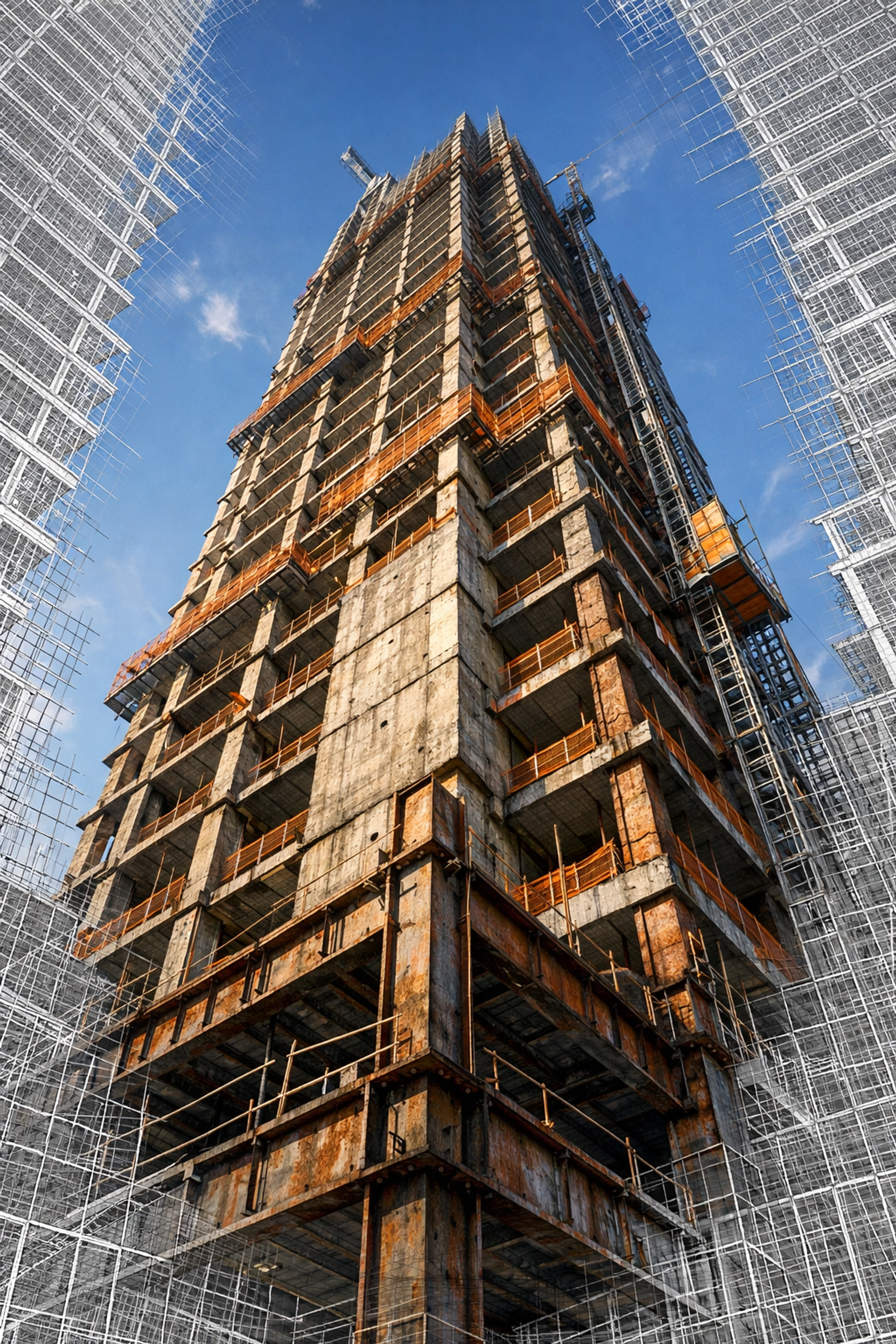
Photogrammetry is a passive capture method that uses overlapping RGB photos to recreate site geometry and produce deliverables that teams already understand such as orthomosaics 3D models and measurable surface data In practice your drone flies a planned pattern collects high overlap imagery then software applies structure from motion tie points and pixel triangulation to generate a point cloud mesh and texture When the goal is site progress photos and stakeholder reporting this workflow is popular because the output keeps visual context color and material cues that help owners lenders and project teams verify what changed between weekly or monthly site visits
Photogrammetry depends on lighting and image texture If surfaces are monotone reflective or in deep shadow the model can show noise gaps or alignment issues This is why capture planning matters including consistent camera settings overlap and a repeatable flight path across time so comparisons stay reliable
LiDAR overview for construction documentation
LiDAR is an active remote sensing method that emits laser pulses and measures time of flight to calculate distance then combines that with GNSS and IMU trajectory data to build a georeferenced point cloud Because it is measuring range directly it performs well when light is limited and it is less sensitive to shadows or textureless surfaces than photogrammetry On construction sites this often translates into strong elevation and grading confidence and cleaner capture of thin or uniform elements that can be hard for image based modeling
LiDAR can also record multiple returns which supports ground extraction in vegetated areas and automated ground point classification That said LiDAR point clouds do not inherently carry RGB context unless colorization is added and data volumes and processing workflows can be more specialized depending on the deliverables you need
Visual detail vs measurement accuracy
For most construction teams the first question is whether the priority is visual detail or measurement confidence Photogrammetry usually wins on visual fidelity because it is built from RGB imagery so it preserves color texture and jobsite context That makes it a strong fit for site progress photos owner updates lender reporting marketing documentation and general visual inspection where you need to see materials staging and installed scope clearly
LiDAR usually wins on geometric accuracy because the point cloud is driven by direct distance measurements rather than feature matching across images This is why LiDAR is often selected for grade verification elevation surfaces cut and fill tracking and situations where lighting or surface texture would make photogrammetry less dependable If you need both strong visuals and strong geometry a hybrid approach is common using LiDAR for the base geometry and photogrammetry for photo realistic texture depending on schedule and deliverable requirements
Construction site progress applications
On active projects the best capture method is the one that supports the decisions you need to make this week If your main deliverable is site progress photos for stakeholders photogrammetry based mapping and repeatable aerial photography provide strong visual documentation that is easy to interpret and simple to compare month over month It supports timeline overlays and historical progress archiving because the imagery reads like the site not like an abstract model
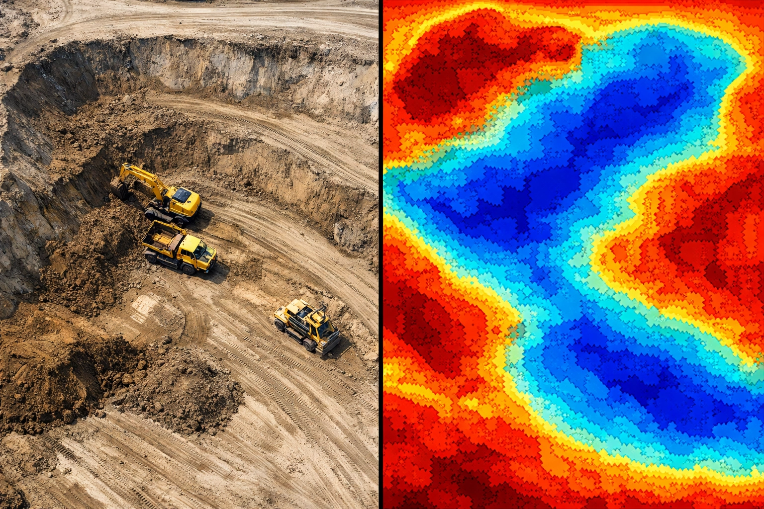
If the project needs measurement driven updates LiDAR becomes more valuable for earthworks monitoring volume calculations cut and fill analysis grade verification and terrain extraction especially when vegetation or low light conditions complicate image based capture For vertical work both approaches can help but LiDAR can better retain geometry on thin elements while photogrammetry provides the RGB context that helps teams validate installation progress for envelope roofing and site logistics
In many programs the practical answer is not LiDAR versus photogrammetry but when to use each so progress photos stay consistent and the data behind those photos is defensible for pay apps billing verification and coordination
Environmental variables and constraints
Environmental conditions influence both methods but they do it in different ways Photogrammetry needs usable light and consistent exposure so heavy shadows low sun angles and changing cloud cover can affect reconstruction quality and visual consistency across recurring site progress photo flights LiDAR is less dependent on ambient light which can help with low light or night shift monitoring but weather still matters because precipitation and atmospheric conditions can impact laser performance and data quality
Both methods depend on stable flight conditions Wind affects image sharpness and overlap and it can also affect scan stability and trajectory quality Terrain and surrounding structures matter too Dense wooded areas can hide ground from RGB imagery while LiDAR multiple returns can support ground point classification Urban canyon environments can introduce GNSS multipath and signal obstruction so planning and control strategy are important regardless of sensor choice
Data processing workflows
From a schedule standpoint photogrammetry processing is image heavy The workflow typically includes image selection and quality checks alignment tie point generation dense cloud creation mesh reconstruction texture baking and orthorectification That can produce excellent looking outputs for construction progress photos but processing time can increase as image counts grow or when sites have repetitive textures reflective roofs or large monotone areas
LiDAR processing is trajectory and point cloud heavy The workflow typically includes trajectory processing noise filtering strip adjustment classification and DEM generation and it can be paired with point cloud colorization when RGB context is required LiDAR can be efficient for measurement deliverables but it often requires specialized point cloud software and tighter QA around georeferencing especially if the data will be used for CAD GIS or BIM integration

Economic evaluation
Cost tends to follow the deliverable Photogrammetry generally has lower sensor cost because it relies on RGB cameras but it can require more flight time for overlap and more processing time to generate dense outputs LiDAR typically has higher hardware investment and may require more specialized operations and software but it can reduce risk on measurement critical scopes and it can perform in low light windows that would otherwise delay capture
For many construction programs the most useful way to compare cost is against the value of consistent site progress photos and defensible quantities If the imagery is primarily for communication and progress reporting photogrammetry often delivers the best value If the project needs surfaces volumes and grade checks that must hold up for coordination billing or claims LiDAR can justify its cost quickly
Decision criteria for LiDAR vs photogrammetry
If your priority is clear site progress photos that stakeholders can read quickly photogrammetry is usually the starting point because it produces RGB based deliverables that match what people expect to see in construction updates It is a strong choice for investor and owner reporting marketing material general site overview and textured 3D models when daylight and surface texture cooperate
If your priority is measurement driven documentation LiDAR is often the better fit for topographic surveys under trees grade and elevation verification night shift monitoring and capturing thin or textureless features that can cause photogrammetry correlation errors When schedules are tight LiDAR can also reduce recapture risk when lighting conditions change
If you need both communication ready progress photos and engineering grade geometry the hybrid approach is common using LiDAR geometry with photogrammetry texture to support comprehensive site documentation across phases
EXTERNAL RESOURCES AND CONTACT
EYESABOVE SERVICES OVERVIEW https://eyesabove.com SERVICE INQUIRY FORM https://eyesabove.com/new/index.php/pages/contact FREQUENTLY ASKED QUESTIONS https://eyesabove.com/new/index.php/pages/faq TERMS AND CONDITIONS https://eyesabove.com/new/index.php/pages/terms-conditions PRIVACY POLICY DATA MANAGEMENT https://eyesabove.com/new/index.php/pages/privacy-policy
TECHNICAL SPECIFICATION COMPARISON TABLE DATA
PARAMETER PHOTOGRAMMETRY LIDAR SENSOR TYPE PASSIVE ACTIVE DATA OUTPUT RGB IMAGERY POINT CLOUD LIGHT REQUIREMENT HIGH LOW TO ZERO VEGETATION PENETRATION NONE HIGH VERTICAL ACCURACY MODERATE HIGH EQUIPMENT COST LOW HIGH PROCESSING TIME HIGH LOW VISUAL DETAIL HIGH MODERATE GROUND CLASSIFICATION MANUAL AUTOMATED REFLECTIVE SURFACE ISSUES HIGH MODERATE
IMPLEMENTATION STRATEGY
SITE ASSESSMENT REQUIREMENT IDENTIFICATION SENSOR SELECTION FLIGHT PATH PLANNING GROUND CONTROL POINT PLACEMENT DATA ACQUISITION FIELD VERIFICATION OFFICE PROCESSING QUALITY ASSURANCE CHECK CLIENT DELIVERY DATA ARCHIVING RECURRING SCHEDULE ESTABLISHMENT TEMPORAL BASELINE CREATION PROGRESS REPORT GENERATION STAKEHOLDER DISTRIBUTION
COMPONENT INTEGRATION
AUTODESK REVIT COMPATIBILITY BENTLEY SYSTEMS INTEROPERABILITY ESRI ARCGIS INTEGRATION BLUEBEAM REVIU WORKFLOWS PROCORE DATA FUSION SITE SCAN CAPABILITIES DRONEDEPLOY INTEGRATION PIX4D PROCESSING PIPELINE TERRA SOLID UTILITY AGISOFT METASHAPE ALGORITHMS
FINAL SYSTEM ARCHITECTURE
REDUNDANT DATA CAPTURE RTK GNSS POSITIONING PPK POST PROCESSING OPTIONS COORDINATE SYSTEM ALIGNMENT STATE PLANE GRID CONVERSION NAVD88 VERTICAL DATUM ADHERENCE WGS84 HORIZONTAL DATUM STANDARDS LASER CLASS 1 SAFETY STANDARDS FAA PART 107 COMPLIANCE REMOTE ID BROADCAST REQUIREMENTS ENCRYPTED DATA TRANSMISSION SECURE CLOUD STORAGE PROTOCOLS