
EyesAbove provides aerial imagery services
EyesAbove Imagery Services – Multi-Industry Digital Documentation & Intelligence Platform
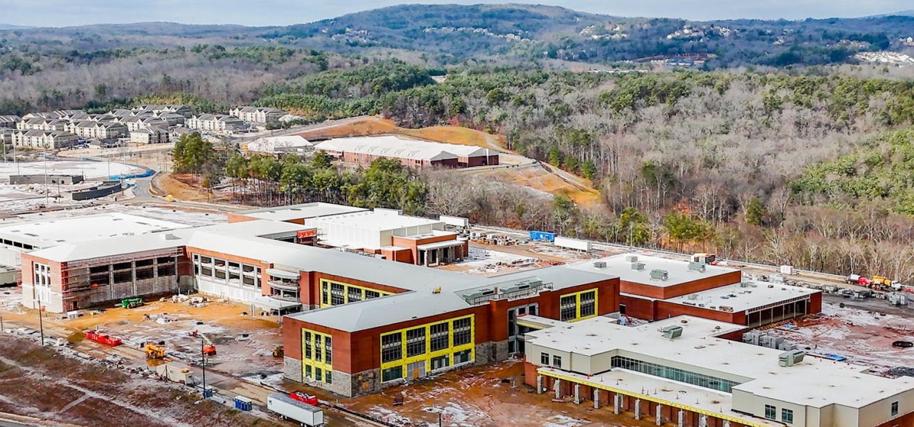
EyesAbove delivers advanced aerial and spatial data solutions that create a comprehensive digital record of projects, assets, and operations across a wide range of industries. Through scheduled data capture, we generate precise, time-stamped visual and analytical records that allow stakeholders to monitor progress, validate performance, and make informed decisions with confidence.
Our approach transforms complex environments into structured, visual timelines—enabling clients to review conditions on specific dates, compare changes over time, and maintain full visibility across the lifecycle of a project or asset.
Using state-of-the-art drone platforms and sensor technology, EyesAbove captures high-resolution imagery, video, and geospatial data—including LiDAR—across diverse environments. These systems provide not only surface-level visualization but also deeper insights into terrain, structural conditions, and subsurface or obscured elements when applicable.
All collected data is processed and delivered through a secure, customized Content Management System (CMS) portal, offering centralized access to:
- Time-lapse and date-specific visual records
- Orthomosaic maps and 3D models
- LiDAR-based terrain and structural analysis
- Progress tracking and change detection
- Remote access for distributed teams and stakeholders
This platform enables real-time collaboration and transparency, whether stakeholders are on-site or remote.
EyesAbove provides aerial imagery services
Industry Applications
EyesAbove solutions are adaptable across multiple sectors, including but not limited to:
- Construction & Infrastructure – Progress tracking, site verification, stakeholder reporting
- Real Estate & Development – Marketing visuals, property documentation, land analysis
- Energy (Solar, Data Centers, Utilities) – Asset monitoring, installation validation, maintenance planning
- Transportation & Aviation – Runway inspections, corridor mapping, logistics visibility
- Environmental & Land Management – Terrain modeling, drainage analysis, conservation tracking
- Industrial & Manufacturing – Facility monitoring, expansion documentation, safety compliance
- Insurance & Risk Management – Pre/post condition documentation, claims support, forensic analysis
- Agriculture & Land Use – Crop monitoring, irrigation planning, land optimization
Strategic Value
By combining aerial intelligence, geospatial analytics, and cloud-based delivery, EyesAbove provides:
- Enhanced visibility across all phases of operations
- Data-driven decision support for executives and project teams
- Reduced risk through accurate, historical documentation
- Improved communication across stakeholders and partners
- Scalable solutions adaptable to projects of any size or industry